

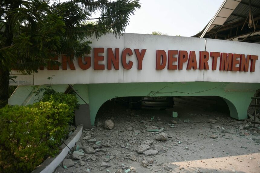
KUALA LUMPUR, March 28 — The US Geological Survey (USGS) has issued a red alert for the magnitude 7.7 earthquake that struck Myanmar and affected surrounding countries earlier today.
Based on the epicentre location of about 16 km north-northwest of Sagaing and the surrounding infrastructure, it estimated a 35 per cent likelihood that the death toll would be between 1,000 and 10,000.
“Overall, the population in this region resides in structures that are vulnerable to earthquake shaking, though resistant structures exist.
“The predominant vulnerable building types are informal (metal, timber, GI etc.) and unreinforced brick masonry construction,” it said in a preliminary assessment.
The USGS also estimated an equal probability that economic loss would be as much as US$10 billion, with a 29 per cent likelihood that this could extend to US$100 billion, roughly a third of Myanmar’s GDP.
A chart shows the probability of fatalities from the Myanmar earthquake, based on the US Geological Survey’s (USGS) modelling.
Major cities impacted include Mandalay (1.2 million people), Sagaing (79,000), and Monywa (182,000), where intense shaking was recorded at Modified Mercalli Intensity (MMI) VIII or VII.
Historical data shows that previous earthquakes of similar magnitude in the region have caused thousands of fatalities and secondary hazards such as landslides.
The scale of the disaster underscores the urgent need for emergency aid, rescue operations, and international assistance to mitigate the humanitarian and economic impact, the USGS said.